
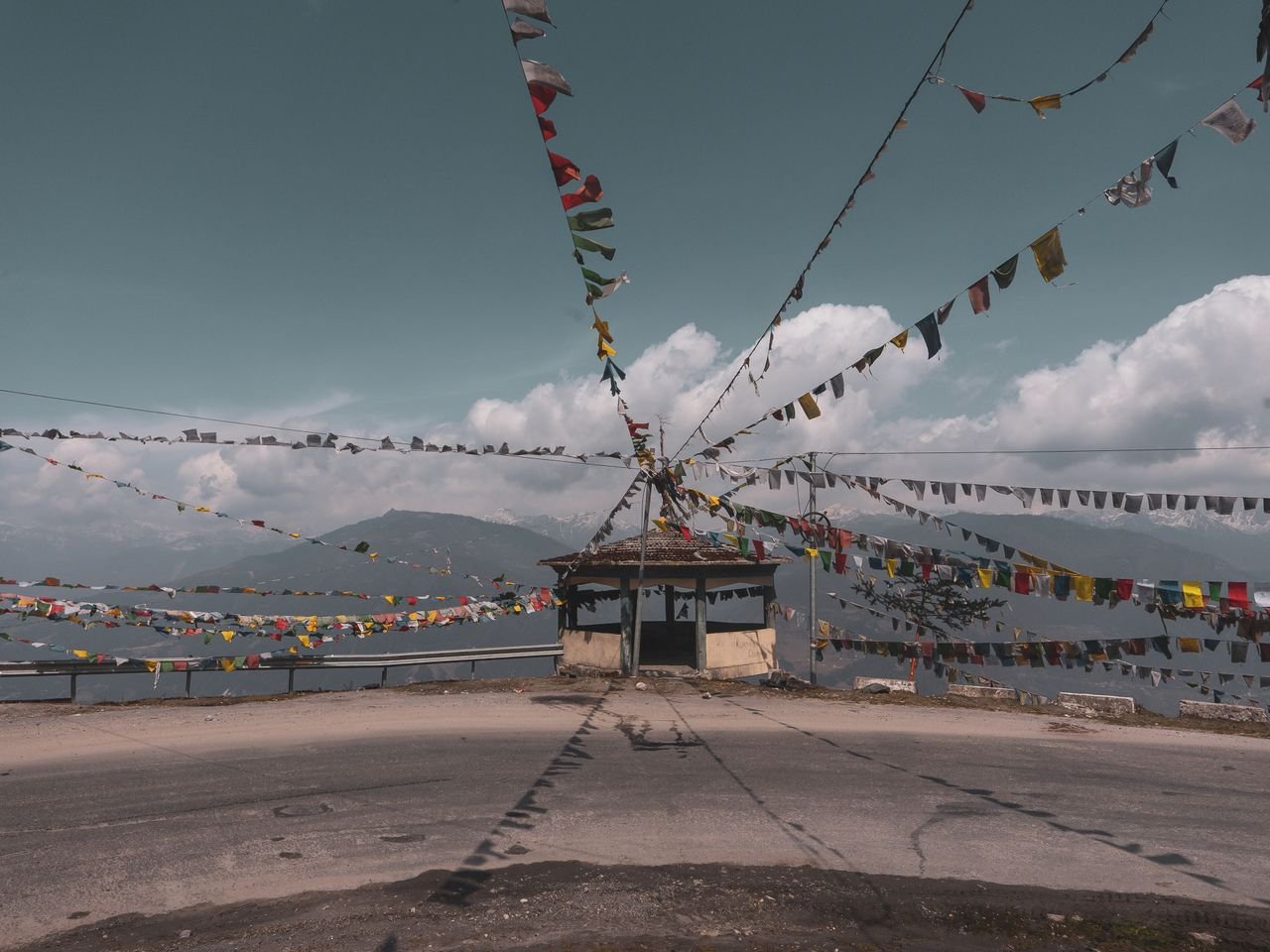
There are two states in India’s northeast that most Indians could not place on a map, that require a permit to enter even for citizens, and that together hold more distinct tribal cultures than most countries manage in their entirety. Nagaland and Arunachal Pradesh are difficult to reach, slow to travel, and unlike anywhere else in the country.
Nagaland
Nagaland is home to more than a dozen major tribes, each with its own language, dress and traditions, and for most of the year they are spread across villages in hills that take hours to drive between.
For the first ten days of December they gather in one place. The Hornbill Festival, held at Kisama Heritage Village outside Kohima, brings every tribe together for a week of music, dance, wrestling, food and craft. It is the single easiest way to understand the state, and it books out. Accommodation in and around Kohima needs to be arranged months ahead.
Outside the festival, Kohima War Cemetery is worth an hour and some context. The 1944 battle fought here was among the most significant of the Second World War in Asia, and the cemetery is maintained beautifully.
The Dzukou Valley trek starts from Viswema or Jakhama, both a short drive from Kohima. It is a steep few hours up to a valley floor of rolling green that looks nothing like the forest you climbed through. The Dzukou lily blooms across the monsoon months.
Arunachal Pradesh
Arunachal is the largest of the northeastern states and the least travelled. Ziro Valley, in the centre, is a plateau of rice fields farmed by the Apatani, whose wet rice cultivation without terracing or animals draws agricultural researchers from around the world. Ziro also hosts a well regarded independent music festival in late September, held outdoors among the fields.
In the far west, Tawang sits at over three thousand metres, reached over Sela Pass, and holds the largest Buddhist monastery in India. The drive up is long and the road is weather dependent, but the monastery, the lakes and the scale of the valley make the case for the journey.
Permits and access
Indian citizens require an Inner Line Permit for both states, applied for online or through state government offices, and it is generally straightforward. Foreign nationals need a Protected Area Permit, which is a heavier process.
Guwahati is the practical gateway for the region. Dimapur serves Nagaland by air and rail, and Arunachal now has its own airport at Hollongi near Itanagar, though many western Arunachal itineraries still route through Assam.
What nobody tells you
Distances here are measured in hours, not kilometres. A hundred kilometres can take five hours on mountain roads, and building an itinerary on map distance is the most common planning mistake visitors make.
Both states are largely Christian, which surprises people, and Sunday genuinely stops. Village homestays are often the only accommodation outside the main towns and are frequently the better experience anyway. And mobile connectivity thins out fast; download offline maps before you leave the highway.